
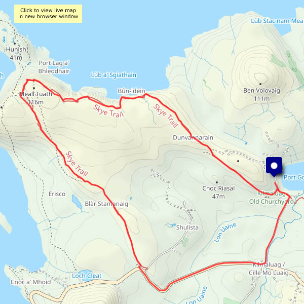
Skye, 4 October It starts at the (possibly well-known) phone box at the Shulista road end, and heads for the cliffs of Meall Tuath, high above Rubha Hunish – Skye’s northernmost point. It then swings south-eastwards, skirting the rim of spectacular cliffs before cutting across a grassy ridge to arrive at the old Balmaqueen churchyard (and continue down through Trotternish and the Cuillins to Broadford, some 128km in total). I’m starting at Balmaqueen, walking the first three or four miles of the trail in reverse to arrive at the phone box. To complete this circular walk I’ll walk back along the road – not a part of the trail, but it’s no great hardship.
I only realised this path had been created when I studied the OpenStreetMap (see below). We’re setting out on the long journey home in the morning: almost literally, along the clifftops, I’m going out on a high!


")


")
View OS map on Streetmap http://www.streetmap.co.uk/map?X=142359&Y=875513&A=Y&Z=120

Pingback: Coast to coast… – geoffspages.blog